Ferrer Point Radar Station
During World War II, a radar station was established in an isolated area of the northwest corner of Nootka Island off the coast of Vancouver Island. The radar was constructed on a small peak called Northwest Cone that rises above a relatively flat area of Nootka. Now the crumbling structure makes an interesting hiking destination. The trail follows the remnants of the log road created to support the station over 80 years ago.
Estevan Point is just south of Nootka Island, about 30 miles away. The Japanese hurled a few shells at the Estevan Point lighthouse from a submarine. But this place, in the middle of nowhere, must have been a pretty quiet spot, except for the rain and the wind.
Aerial Photographs, August 1943


First Trip — May 1989
Our honeymoon trip, a month before our wedding. Our friend Tom Rafoth came along. It was an unusually dry May so the trail was not too swampy. The radar station sits on a knoll and is hard to see from afar. It looks like a rusting jungle gym. The buildings had all collapsed, although in 1989 part of a wall was still upright.


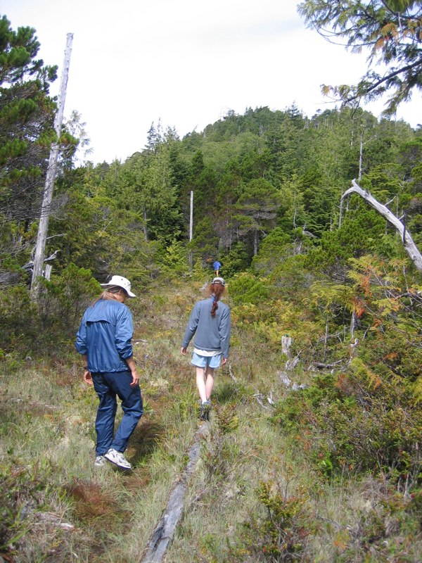
Second Trip — August 2006
We were with our closest friends: the Hansen, McPhail, Anderson, Watterson, and Eustis families. I believe someone had helped clear the old trail since our last visit. Now, seventeen years later, we had returned with our children.
As expected, the trail had deteriorated further over time, but many of the telephone poles were still standing and served as useful markers for finding the route. The most noticeable change was at the site itself: the surrounding trees had grown significantly and now partially obscured the view from the top, especially when compared with how it appeared in 1989.
We did not need GPS but it might be helpful in the future as more overgrowth continues. It is an easy walk, level until the very end. There you can see the remains of the old cable trolley system that was used to pull supplies up the steep rocky knoll (visible in the 1943 aerial photographs).